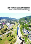
Te Awa Kairangi / Hutt River is a steep alluvial river that starts from the Tararua Ranges and enters Wellington Harbour at Petone. It flows through the mountainous terrain of southern Tararua and western Remutaka Ranges with several streams and rivers from the Eastern and Western Hutt hills joining with it on the journey. The catchment is spread over 655 square kilometres, nearly seven times the area of Wellington Harbour.
The 56-kilometre-long Te Awa Kairangi / Hutt River has a history of flooding with four main tributaries – Akatarawa, Mangaroa, Pākuratahi and Whakatīkei.
A storm in any part of the catchment could result in flooding. It takes only seven hours for heavy rain at the top of the catchment to turn into floodwaters at the river mouth.
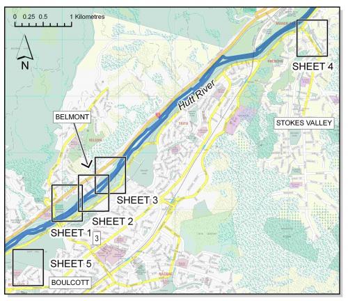
Greater Wellington actively provides flood protection work along Te Awakairangi / Hutt River, protecting the 200,000 residents and their livelihoods.
We’re shifting gravel to prevent erosion, planting willows to stabilise riverbanks, and rebuilding rock structures to protect homes and businesses.
We are currently consulting on flood hazard maps for Upper Hutt. Head to Have Your Say to give your feedback!


Get in touch
- Phone:
- 0800496734
- Email:
- info@gw.govt.nz