Greater Wellington manages the development and implementation of flood management plans and flood protection schemes for many of the region’s rivers and streams. There is ongoing flood protection work happening across the region daily, in and around your local rivers and streams. Scroll down to see what’s happening in your region.
Kāpiti
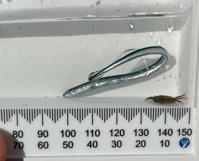
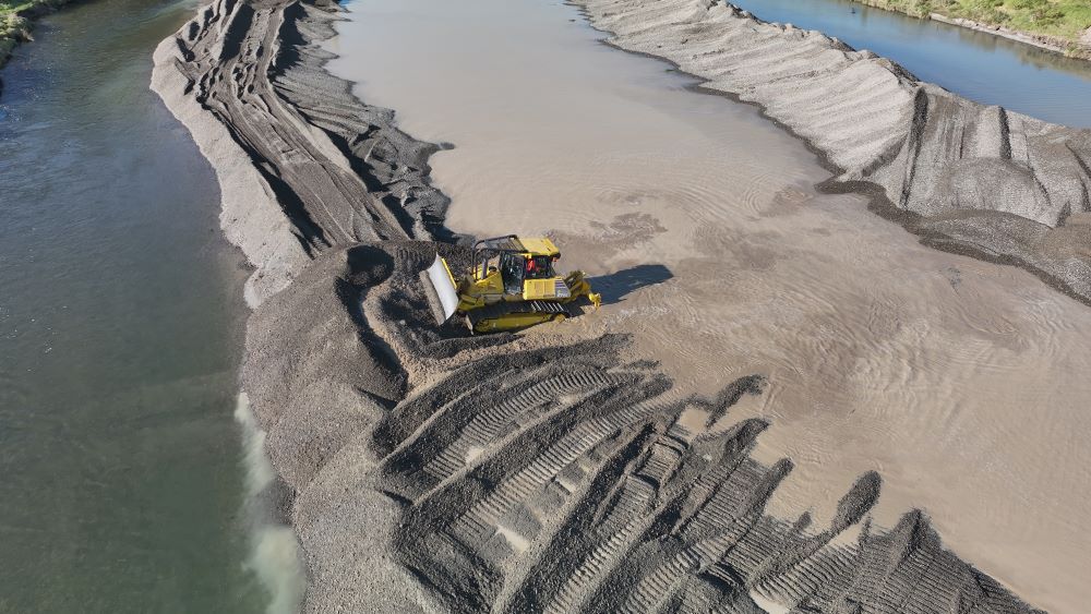
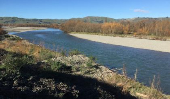
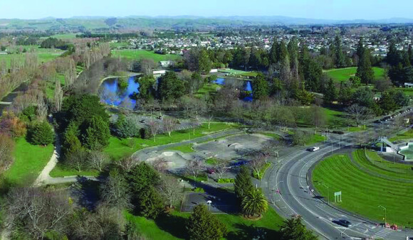
We recently completed gravel reshaping work in the Waikanae River near the Waikanae Estuary Scientific Reserve to reduce erosion risk and help protect nearby homes and infrastructure. This was a collaboration between Greater Wellington, Ātiawa ki Whakarongotai, DOC, KCDC and Fish & Game. This balances flood protection with care for the environment and cultural values. A fish salvage was carried out before work began, safely relocating native species including tuna (eel) and piharau (lamprey).

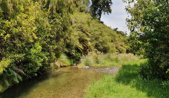
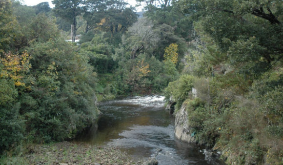
The Mangaone Stream’s headwaters are in the Tararua Forest Park. The river flows in a westerly direction before discharging into the sea at Te Horo…
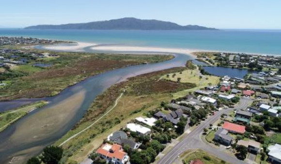
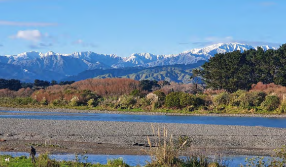
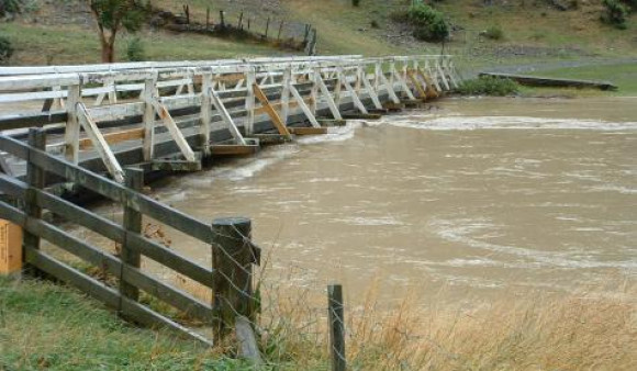
The Waikanae River flows from the western foothills of the Tararua Ranges about 50 kilometres north of Wellington.
Porirua
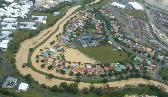
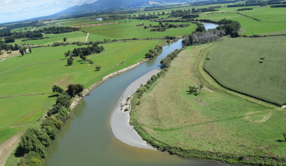
We regularly carry out maintenance activities on sections of many other rivers and streams under a watercourses agreement with local authorities. Earlier this year we completed flood protection work in the Porirua Stream, which runs past the Porirua CBD. This waterway, like many in our region requires ongoing maintenance to improve resilience and safety for our communities.
Hutt Valley
The Hutt River is a steep alluvial river that starts from the Tararua Ranges and enters Wellington Harbour at Petone.
The Wainuiomata River catchment covers 133 square kilometres and a river length of about 22 kilometres. The location and shape of the Wainuiomata catchment make…
A Floodplain Management Plan is currently being developed for the Waiwhetū Stream.
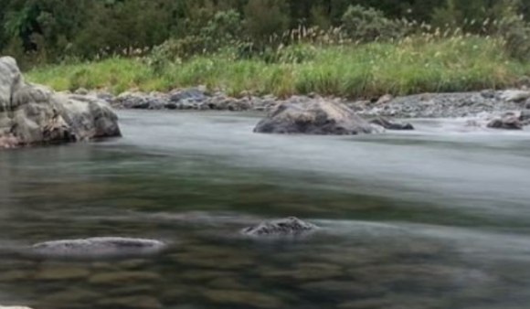
Greater Wellington Regional Council carried out a flood and erosion hazard assessment for the Mangaroa River in 2007.
The Pinehaven Stream is jointly administered by Greater Wellington Regional Council and Upper Hutt City Council. Greater Wellington manages the reach from the Whitemans Road…
Wairarapa
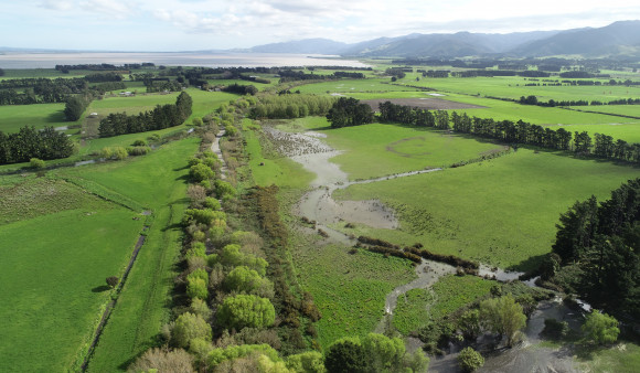
Following budget 2024, Greater Wellington and Kānoa (MBIE’s regional development and investment unit) funded 16 flood resilience projects. 15 of these are in the Wairarapa and are critical in future proofing community, infrastructure, cultural taonga and the economy. In addition to these co-funded projects, Greater Wellington continues to maintain flood protection along the rivers in the catchment. Protecting riverbank edges, planting to reduce erosion, clearing blockages, creating gravel groynes and in the lower Ruamāhanga valley managing the river flow through the barrage gates and opening of Lake Ōnoke.
The Ruamāhanga River system, from the Waiohine confluence upstream, has a total catchment area of 1560km².
In the Lower Wairarapa Valley the dominant river is the Ruamāhanga. It travels from the northern central Tararua Range through open country across the eastern…
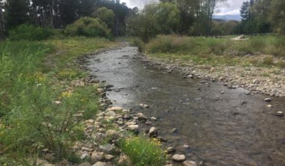
Carterton lies on the historical floodplain of the Mangatārere Stream and there is a recognised flood hazard to Carterton if the stream should break out…
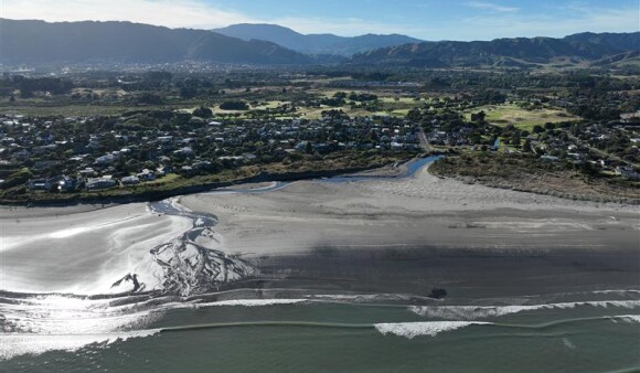
We're looking at the impacts of flooding from the Waipoua River to Masterton's township and industrial areas. The prefered option is being considered for endorsement…
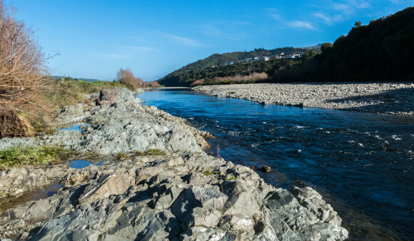
The Waiōhine River has a relatively long and narrow catchment area of 378 sq km on the eastern side of the Tararua Range.
Other
Get in touch
- Phone:
- 0800496734
- Email:
- info@gw.govt.nz