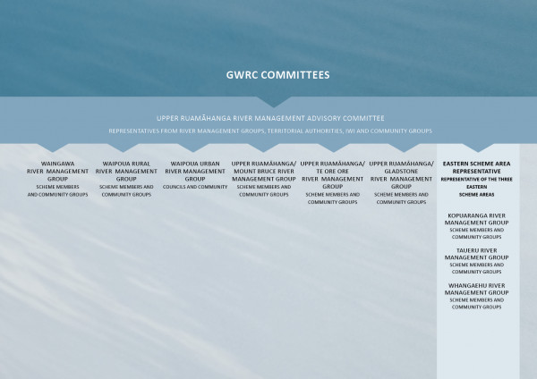
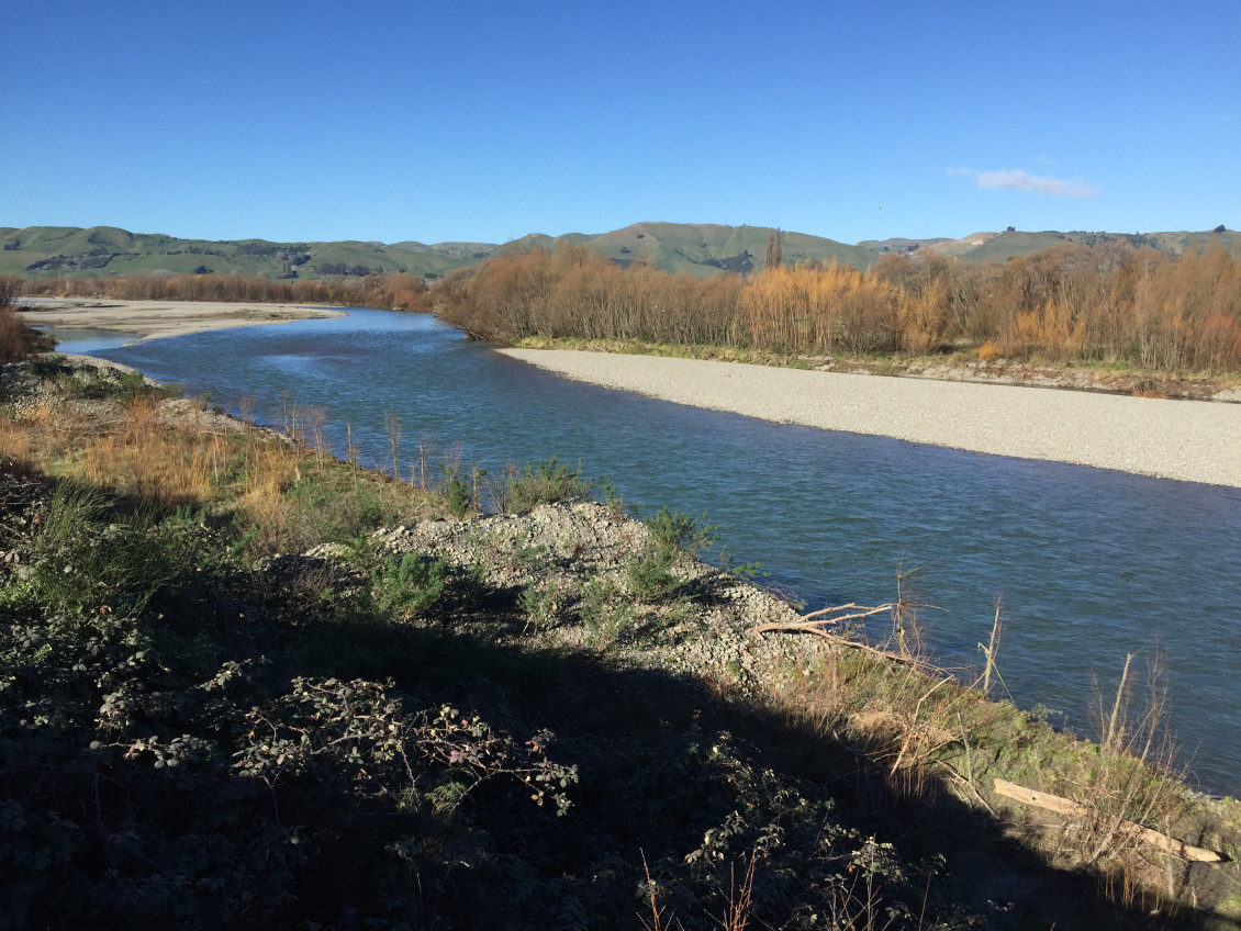
The Upper Ruamāhanga catchment encompasses the upper reaches of the Ruamāhanga River to the Waiōhine confluence, and includes the Waipoua, Waingawa, Kopuaranga, Whangaehu, and Taueru (Tauweru) rivers from their headwaters within the Tararua Ranges and Eastern Hills to their confluences with the Ruamāhanga River. The catchment has a total area of approximately 1,560km².
A floodplain management plan has been developed for the catchment, Te Kāuru Upper Ruamāhanga Floodplain Management Plan. The process of developing the FMP started in 2012 and was then led by the Te Kāuru Upper Ruamāhanga Floodplain Management Subcommittee, which was established in 2014.
Te Kāuru Upper Ruamāhanga Floodplain Management Plan

The Te Kāuru Upper Ruamāhanga Floodplain Management Plan represents many years of investigating the most appropriate, comprehensive and long-term approach for managing the flood and erosion risks to both rural… Read more here
date_range Published 01 Dec 2019
Download now (PDF 26 MB) get_appCheck out the Te Kāuru Interactive GIS map to find out more.
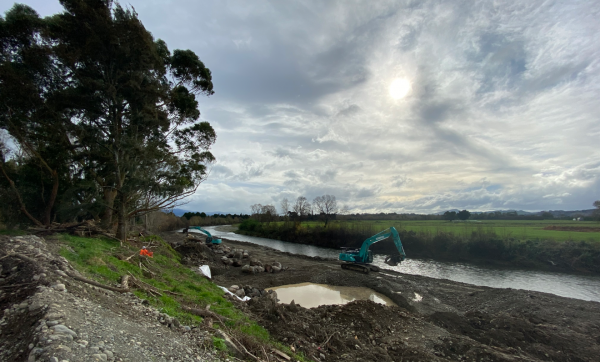
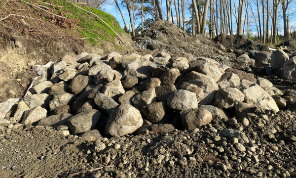
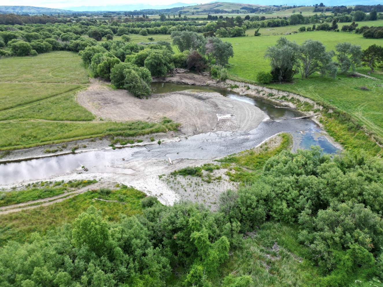
Erosion protection works
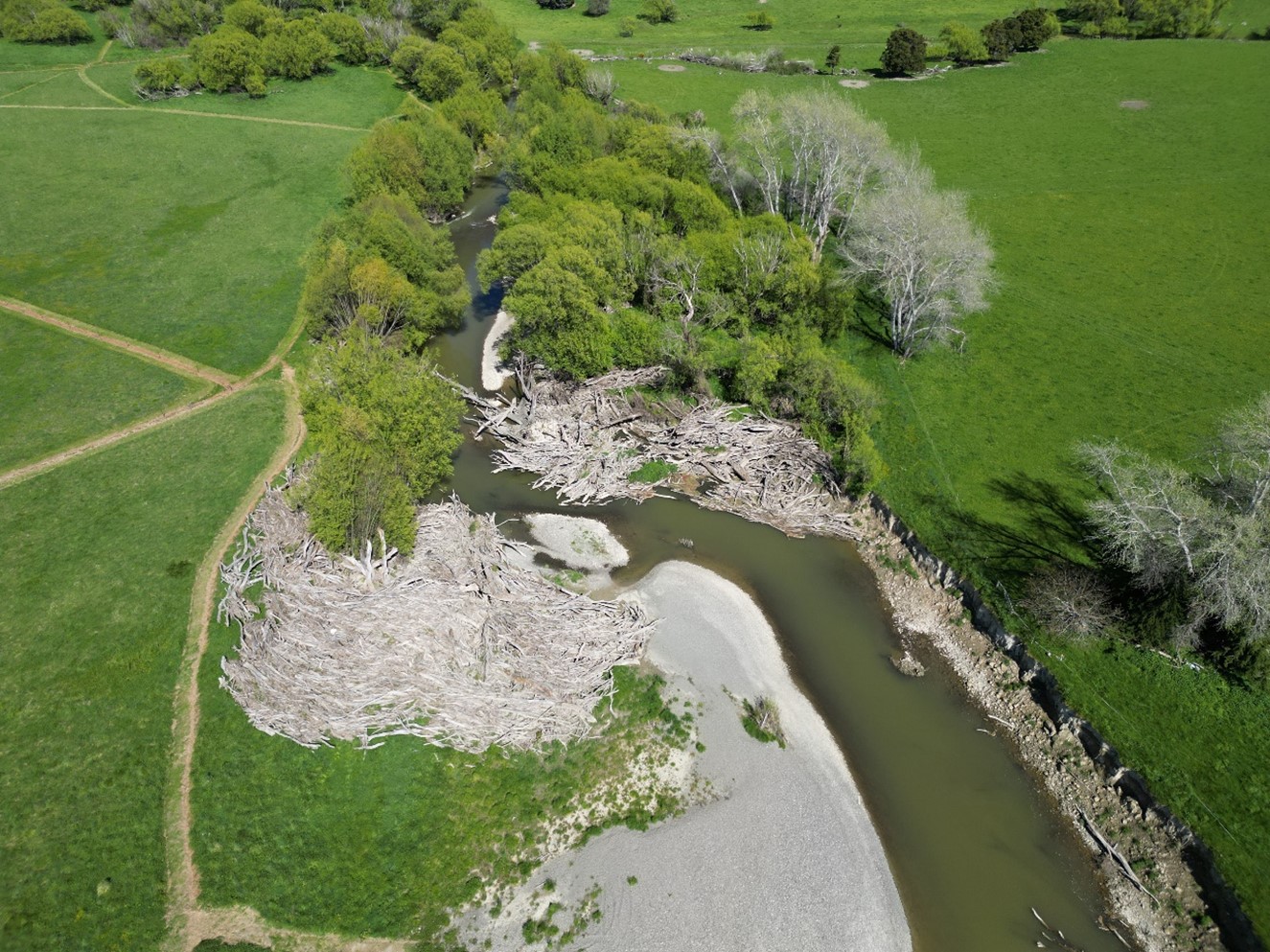


What else has happened?
More information


Get in touch
- Phone:
- 0800 496 734
- Email:
- info@gw.govt.nz