Our vision
A connected, resilient, prosperous and sustainable community, proud of its rivers, that is involved in managing flood risks in a manner that recognises local identity and protects, enhances or restores natural and cultural values.
Our work in the Upper Ruamāhanga River
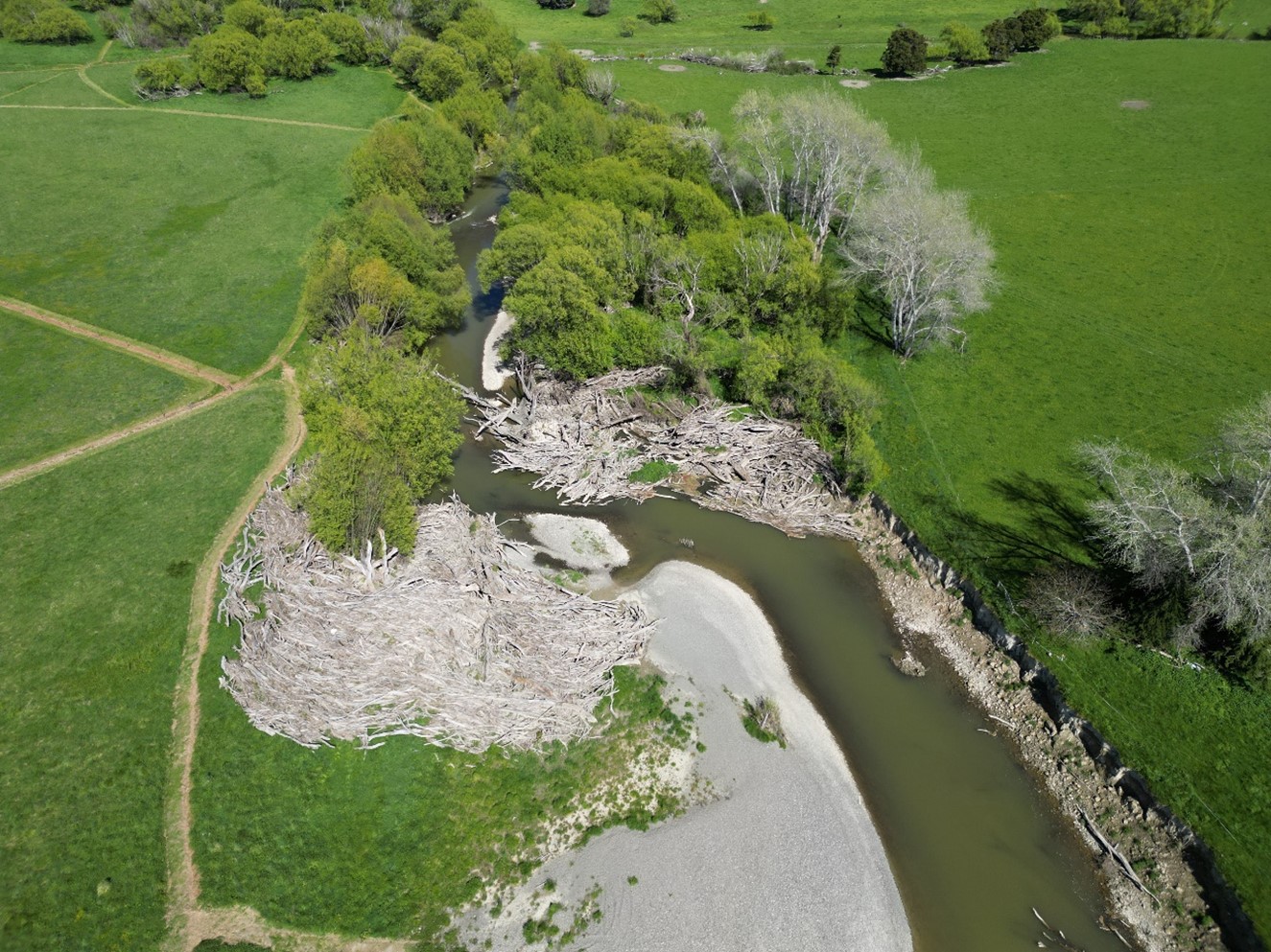
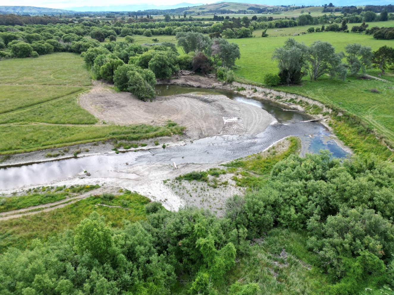
Greater Wellington provides ongoing flood protection and erosion control along the Ruamāhanga River system. From the Waiōhine confluence upstream, the total catchment area is 1560km². The catchment is made up of sub-catchments consisting of the Ruamāhanga above Mount Bruce, and the Waipoua and Waingawa rivers which flow from the eastern side of Tararua Range, and the Kopuaranga, Whangaehu and Taueru rivers which are sourced from the eastern Wairarapa hills.
There are eight flood protection schemes within the catchment, The Upper Ruamāhanga (Mt Bruce, Te Ore Ore & Gladstone), Waipoua, Waingawa, Kopuaranga, Whanaehu and Taueru. These schemes have created bank edge protection, improved river alignment, and reduce the incidence of flooding along many sections of the river.


The Upper Ruamāhanga River Control Scheme was established in 1982 and covers the length of the Ruamāhanga River from Mount Bruce downstream to the Waiōhine confluence. The scheme was designed to protect an area of about 2760 hectares of rural land and infrastructure using stop banks, riparian planting, gravel groynes, vegetation buffer zones and the Te Ore Ore grade-control weir.
The Upper Ruamāhanga floodplain soils are formed from alluvial parent materials from two different sources. The rivers from the Tararua Ranges contribute greywacke alluvium and the rivers from the eastern Wairarapa hills contribute alluvial silts and sands eroded from mudstone, sandstone and limestone. The natural fertility and erodibility of these soils varies.


Get in touch
- Phone:
- 0800496734
- Email:
- info@gw.govt.nz